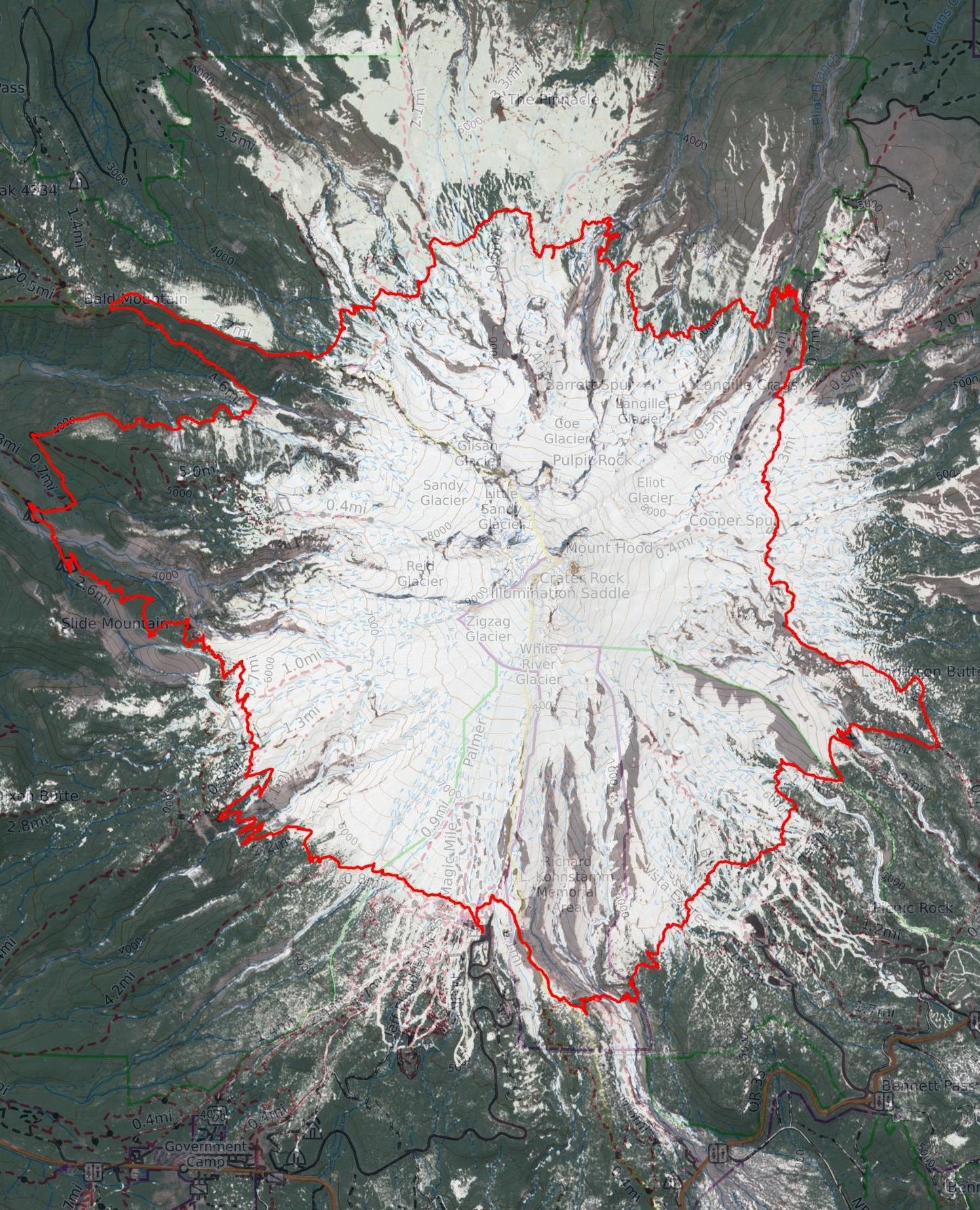
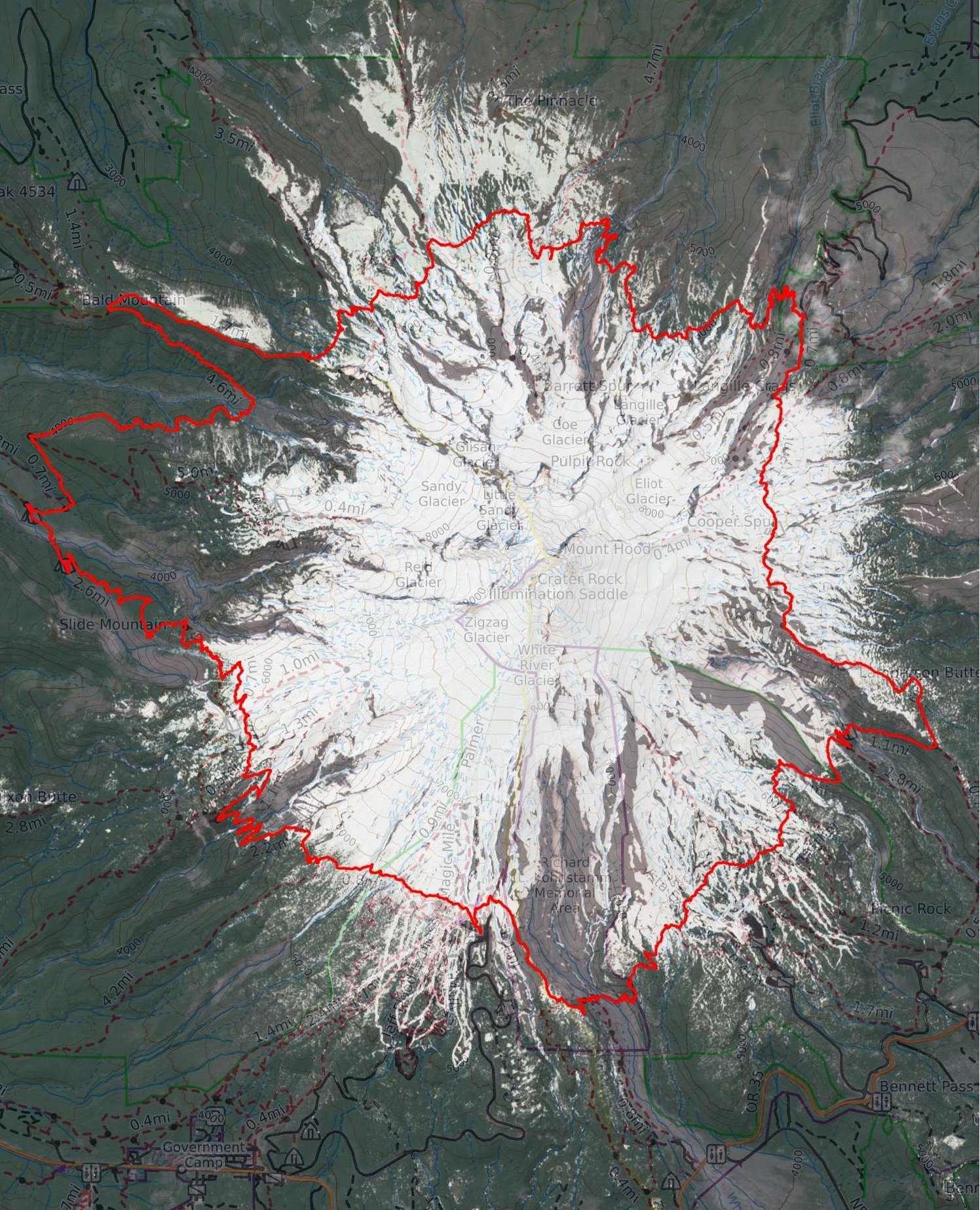
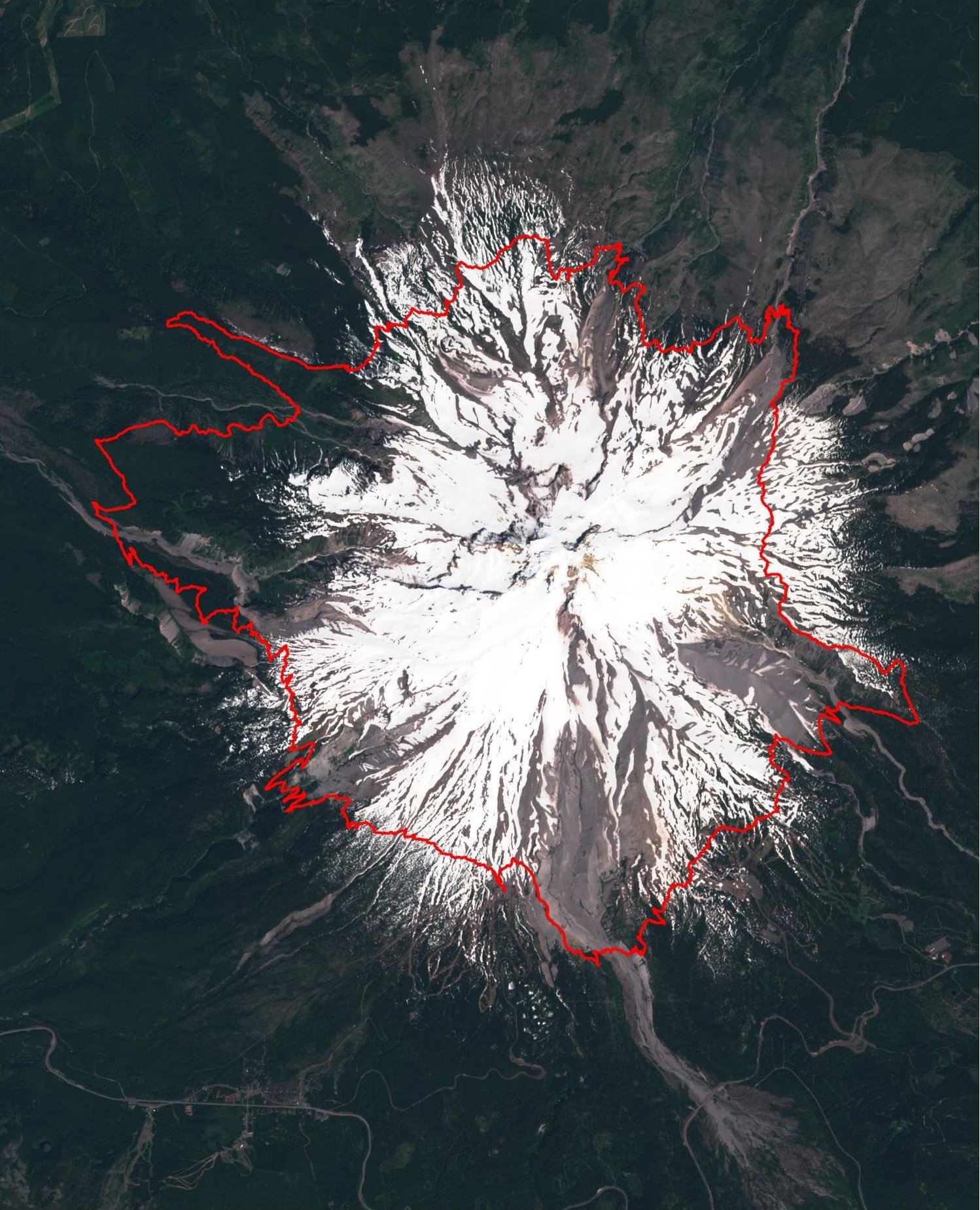
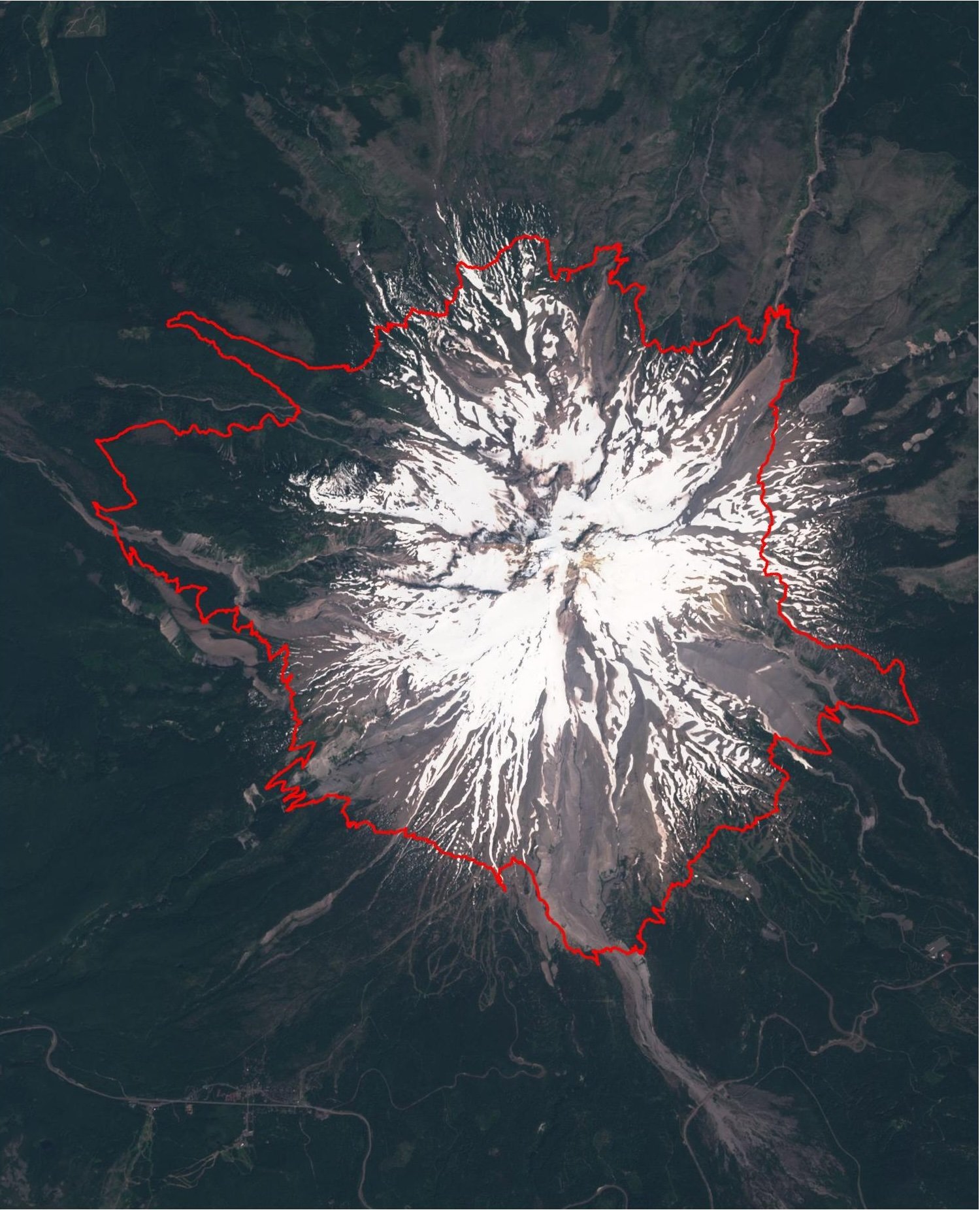
The image below is generated by overlaying the Timberline on a base map. The base map is a current satellite photo from Sentinel Playground, a European Space Agency project that shares current satellite imagery. The images are updated every few days. However here in Oregon, it may be longer as very often there is cloud cover over Mount Hood.
Comparison Between June 25th and July 10th – 2024
Comparison Between June 5th and June 25th – 2024


Comparison Between May 16th and June 5th – 2024