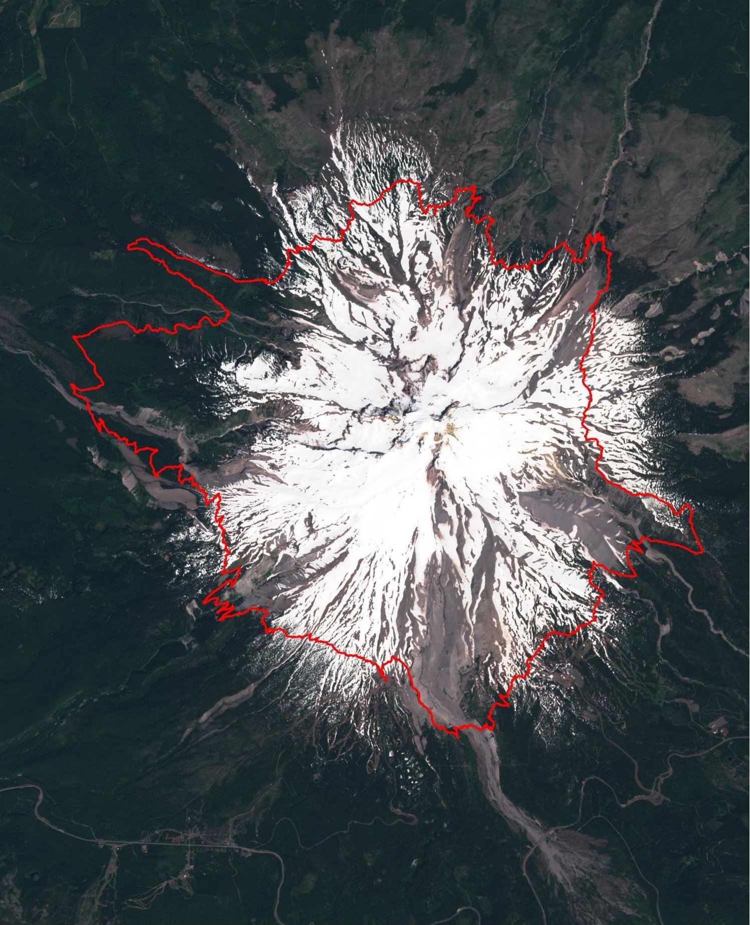
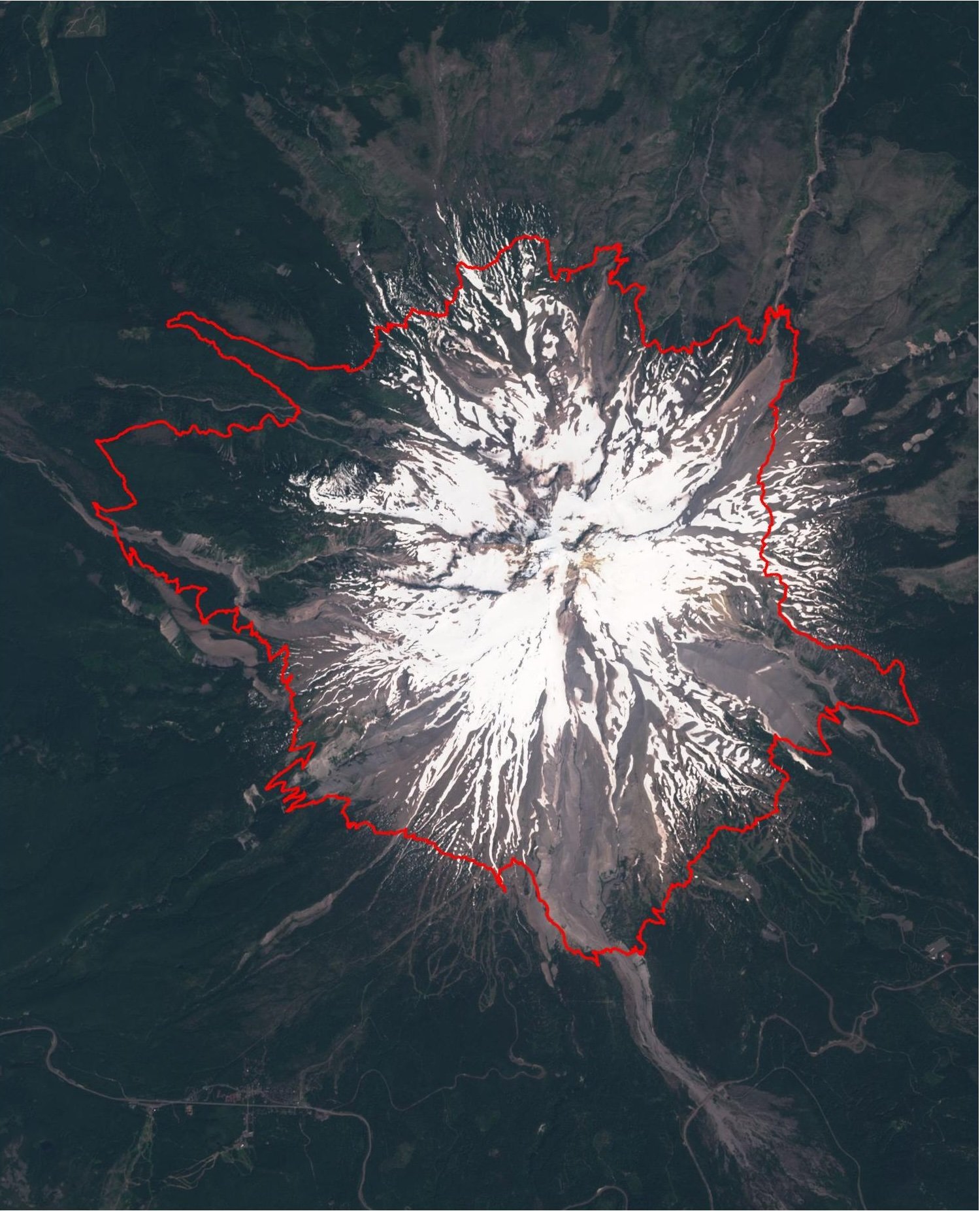
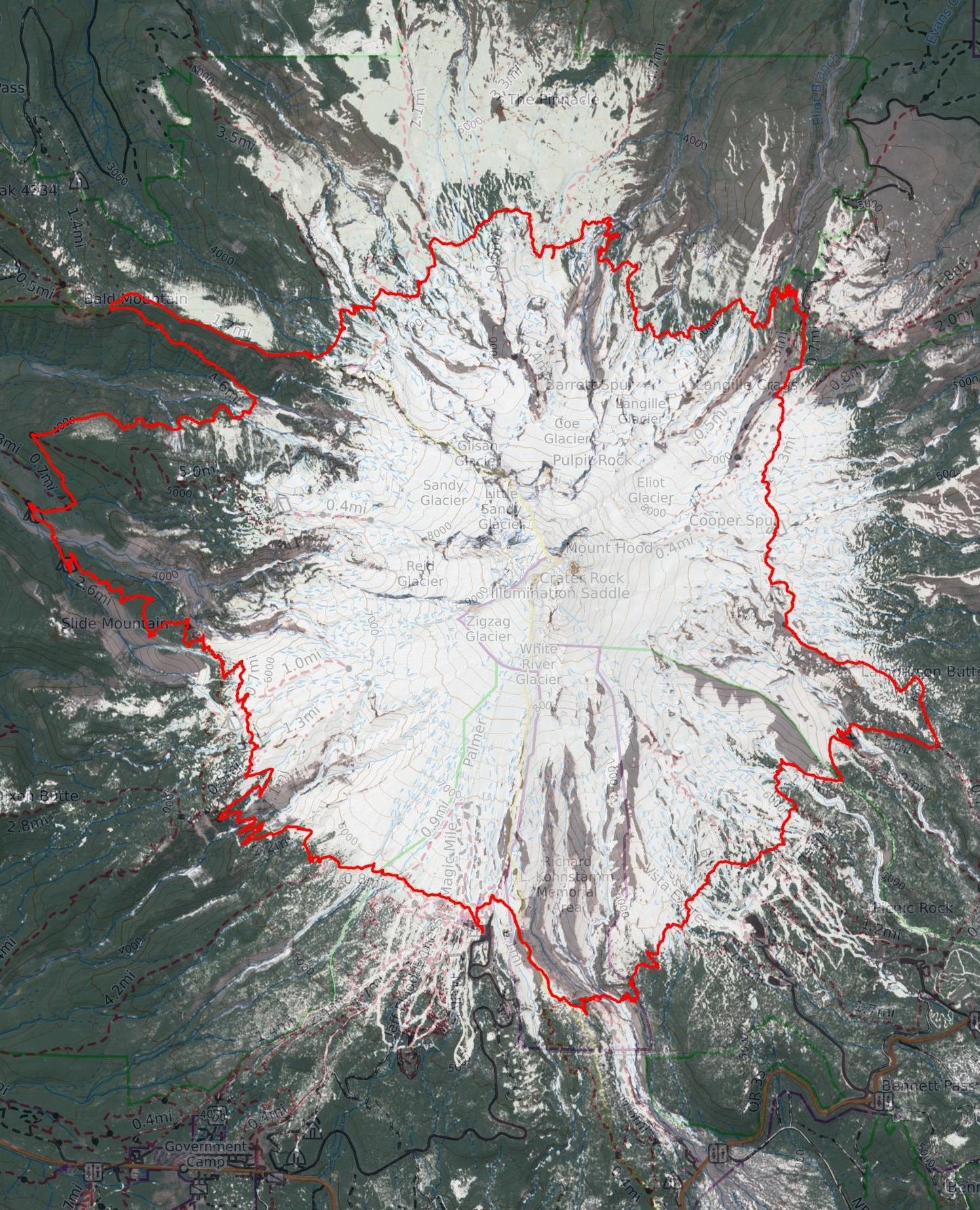
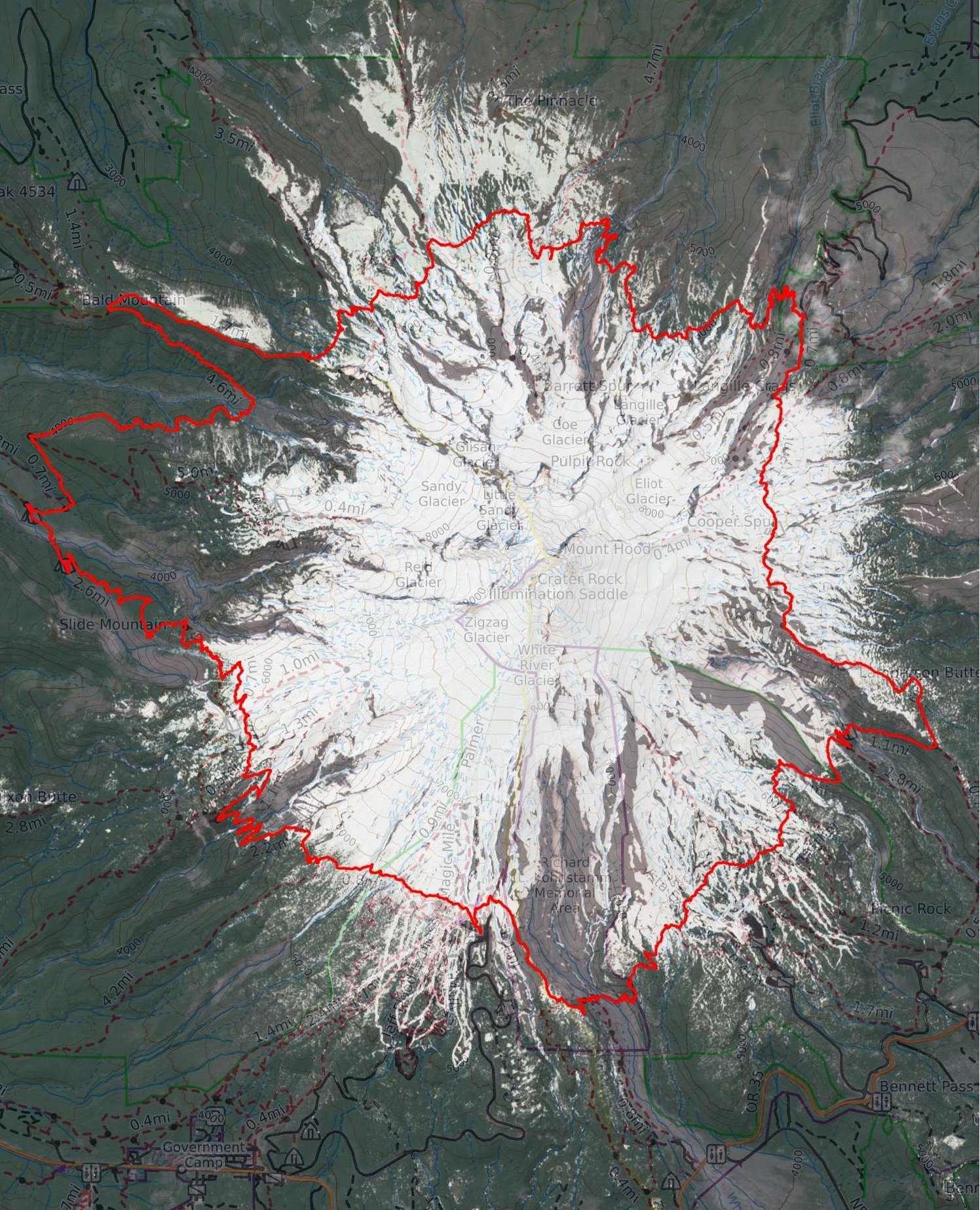
The image below is generated by overlaying the Timberline on a base map. The base map is a current satellite photo from Sentinel Playground, a European Space Agency project that shares current satellite imagery. The images are updated every few days. However here in Oregon, it may be longer as very often there is cloud cover over Mount Hood.
 Backpacking News
- 11 Cutest Small Towns In Idaho - World Atlas
- Explore Arizona's public lands on BLM-managed trails, OHV areas and more
- Yosemite Vs. Glacier: Which National Park Has The Most Dramatic Hiking Trails? - TheTravel
- Acclaimed Author J.R. Miller Wins National IPPY Award for "The Hike Not Taken"
- Everything you need to know about gorilla trekking in Africa
Recent Posts
- Western U.S. Snowpack Trends: A 40-Year Analysis of 58 SNOTEL Stations
- Timberline Trail 2025 Survey Results – Final Analysis
- Timberline Trail 2025 Survey Results – Part Two
- Timberline Trail 2025 Survey Results – Part One
- Watching Mount Hood’s Glaciers Disappear: From Trail Observations to Scientific Reality


