
The Paradise Park Trail is one of my favorite trails on Mount Hood. In good weather, it’s probably the shortest route up to Paradise park from a trailhead at around 6 1/2 miles. From above Welches it runs up the side of ZigZag canyon, before hitting the PCT / Timberline Trail intersection. It’s a reasonable steep trail, but one of its great benefits is it’s peaceful and relatively empty compared to other trails that get you to Paradise Park. Trip report from May 31st. If you need a map for this trail or any around Mount Hood, I highly recommend the Green Trails Map 462.
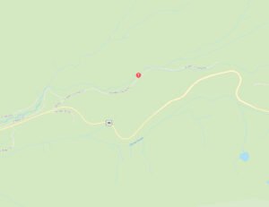
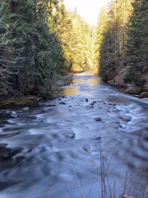
However, this is early season and so this was more of an exploratory hike to see how far up the trail I could get before hitting the snow. The trailhead is off Kiwanis Camp Road on the north side of Highway 26. There is good parking at the trailhead and a couple of campsites. The actual trail starts after you cross the bridge over the ZigZag river and make a right up to the path. There are quite a few great campsites between the path and the ZigZag river.
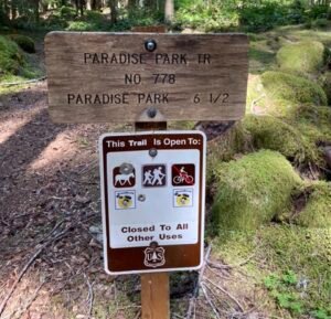
The trail veers off to the left. The first 1/2 miles or so of the trail are pretty flat. There is a lot of evidence of the Forest Service having cleared this section of the trail. This section is not in the wilderness area so keeping the trail clear is easier as they can use chain saws in non-wilderness areas. You transition into the wilderness you have to self-permit. Permit season was now in effect so I filled out the permit for myself, Keenan and Hunter.

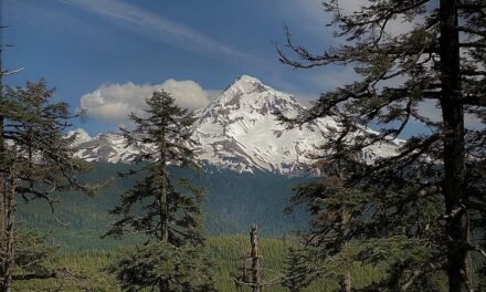
The trail switchbacks a couple of times as it starts to gain height. But after those switchbacks, it’s pretty much a straight-up the side of ZigZag canyon. The trail hugs pretty close to the edge of the canyon rim and from time to time you can hear the traffic from Highway 26. Around about mile 3 there are a couple of nice viewpoints towards Tom Dick and Harry Mountain, with the highway curving around the terrain.

The first couple of miles of the trail are in pretty good shape. There are a couple of blowdowns, but nothing that is not too difficult to scramble over or around.
However, after about mile 4 the going gets a little bit tougher. As the trail gets more exposed the number of blowdowns increases. You enter into the area where there are old blowdowns that have been cleared mixed with more blowdowns from last year. This made progress much slower. These blowdowns were larger and more complex to navigate around.


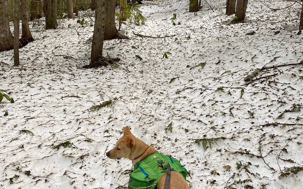
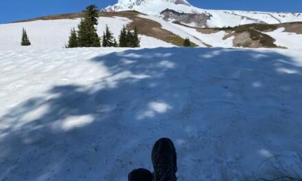
Going was getting tough at this point and progress was slow. Not only do the blowdowns slow progress, but the snow also became ever more covering. At this time of the year, the snow is pretty stable and on this trail, there was no need for spikes or shoes. But navigation becomes increasingly more challenging. So round about the 5 1/4 mile mark, we decided to turn around. This is probably about 1/2 mile before the intersection with the ZigZag mountain trail and a mile to the PCT junction.
The return journey was much quicker! Downhill all the way. I would imagine by the end of June the trail will be clear up to the PCT junction.
Summary
- Great hike with no-one else on the trail
- Easy parking, Northwest Forest Path needed
- Snow and blow downs make traveling the upper range of the trail difficult

Summary Elevation Change


