

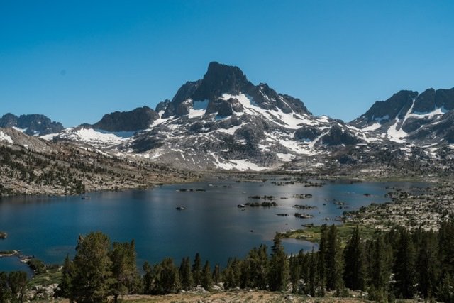
This is a map of current wildfires close or crossing the Pacific Crest Trail. The data is good as of 20th October 2020.
The PTC data comes from HalfMile GPX co-ordinates
The wildfire perimeters come from the National Interagency Fire Center
If you are interested in learning more and being an advocate for healthy forests – check out this Facebook Group – Citizens for Sensible Forest Management.
Just because the PCT crosses into a fire perimeter does not necessarily mean it has been impacted or how badly. Also, many of the fires are still burning and so this data will change over the next month or so, Given this the wildfires may still have a greater impact on the Pacific Crest Trail.
If you are interested in more information on wilderness wildfires and their causes, issues – I have gathered a resource page.


