

Flag Mountain is a small ridge, with a peak at 2500 feet. It separates Camp Creek and Still Creek until they join the ZigZag River. The hike runs along the length of the ridge, but you can return via a couple of forest service roads and trails. The Flag Mountain Trail itself is relatively short at 1.9 miles but the loop is a more respectable 7 miles or so. Although the summit is forested there are some great openings with views of Mount Hood, ZigZag Mountain, and Tom, Dick and Harry.
One of the advantages of the Flag Mountain Trail is it is pretty low, making it an all-year-round trail. However, we’ve had quite the December snow dumping so I was fully expecting to have to navigate around some snow. Just to be prepared I took both microspikes and a Whippet. However, as it turned out none of these were necessary.

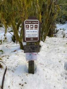
I decided to start at the northern end. This is just off forest road 20 East. Currently, the forest roads are impassable because of snow. There is allegedly parking here – however, it cannot be more than a single space. Alternatively, there are other locations around the forest service roads or back in Rhododendron where you can park and then weave through the forest roads, crossing ZigZag River and admiring some of the forest cabins. It’s amazing how cold the ZigZag River looks in the winter light, the greys of the water carrying the coldness with them. Maybe the river is rushing more, but in summer the river looks clearer and warmer.
A Quick Ascent

The initial ascent from the trailhead navigates between two cabins and then hits a set of switchbacks. These take you up quickly through the forest, making the start of this hike quite demanding. Over the first mile, the ascent is almost 1000 feet. However, as soon as you reach the top of the switchbacks you are basically walking along the ridgeline, with the occasional undulation. The snow was very broken on the trail, making the navigation very straightforward.
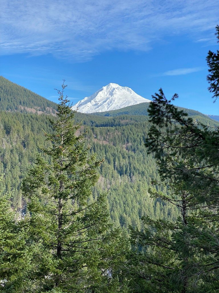
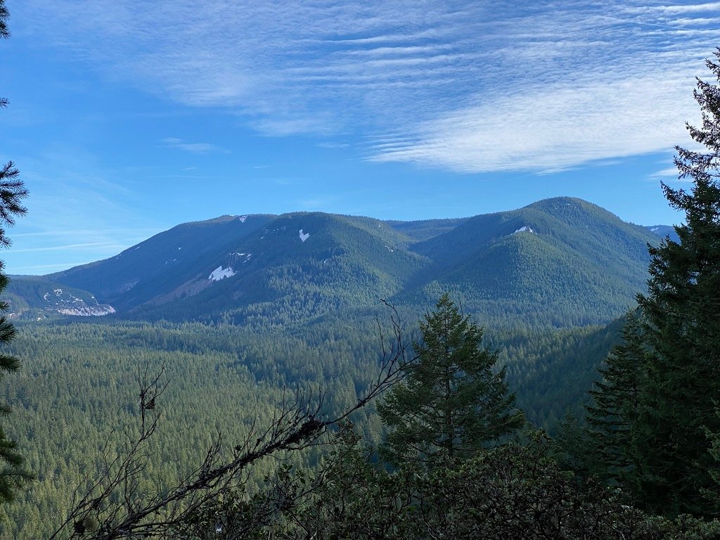
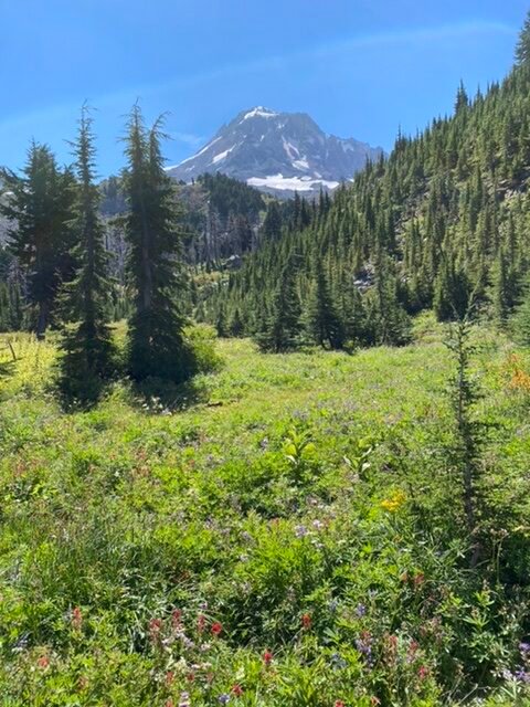
The ridgeline is really pleasant. Relatively flat, with occasional great views of Mount Hood, ZigZag Mountain, and Tom, Dick, and Harry. Any hike that gives you the opportunity to take in the splendor of Hood is always a great hike! I’ve been hiking a lot on ZigZag, so to get to see it from the other side was also great. There is a small bench set up in a clearing that lets you take in some of the panoramas.
Unfortunately you never quite escape the road noise from Highway 26. Lower down the noise is less prominent and some of the ZigZag River helps to drown it out. However, as you ascend the drone of vehicles becomes fairly continuous. The summit of Flag Mountain itself is wooded and is easily missed. After the summit, the descent is fairly swift.

Moun Hood 
Tom, Dick and Harry ZigZag Mountain

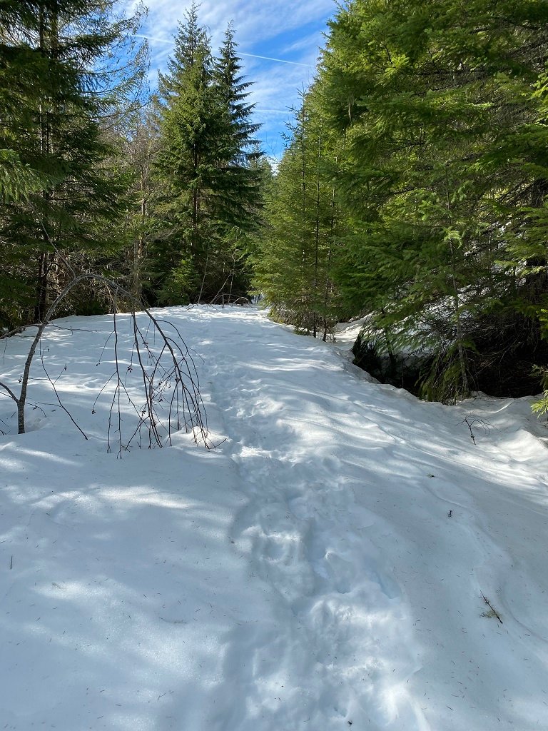
Snowy Descent

The descent was quicker, steeper, and covered in more snow. At times this made trail finding just a little tricky. One good tip is to look where logs are cut. This is usually where they cross the trail and is a quick way if you are looking at maybe one of two alternatives. Of course, always have the correct navigation aids. The descent quickly ends is an old forest road which is about 1/2 mile long. There was mild post-holing along this stretch – very tiring. The crust on the snow was just not quite strong enough. Outside of this section, there was really no use to snowshoes.
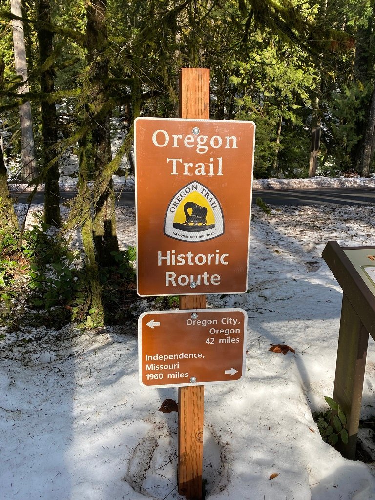
The entire length of the official Flag Mountain trail is only about 1.9 miles. But I was going to make this something more of a loop. In essence, the return journey is following along Highway 26. This is firstly along forest road 35 and then following the Pioneer Bridle Trail. This is more of historic interest than an exciting hike. The trail cuts through the Tollgate campground which is the site of one of the old tollgates on the Barlow Road, which was the first road around Mt. Hood rather than have to take the river route.
The overall return route is considerably longer than the official hike – totaling about 6 miles. This makes the entire loop around 8 miles, with an elevation gain of around 1000 feet.

End of Flag Mountain Trail 
Barlow Road Information Old Oregon Trail


