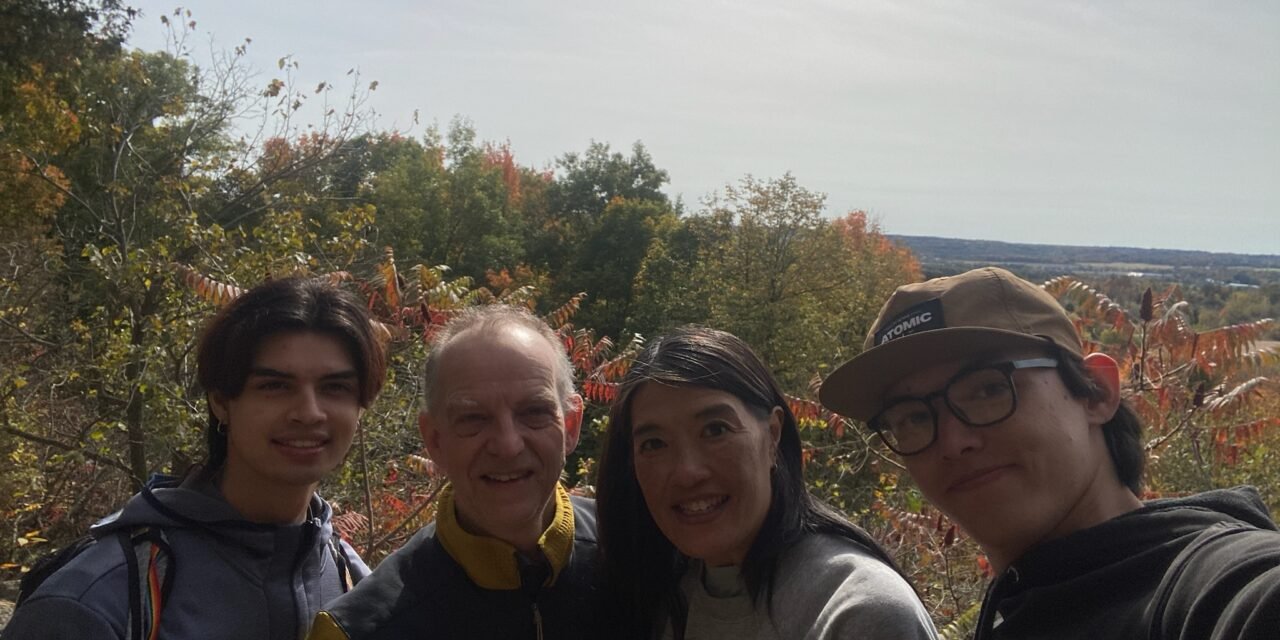
A slightly different trail report this time, and not one from Mount Hood. We’re in Toronto visiting Joshua, which meant a few days in the city, and a good opportunity to get a little hiking in. It was also a rare family outing: the wife and kids all came along. Hunter, alas, stayed back in Portland, so for once I was the one being herded.
It was Canadian Thanksgiving weekend and a beautiful day for it, which is a combination that tends to bring everyone out. Crawford Lake isn’t far from the greater Toronto area, and that makes it a prime spot for a quick getaway. We weren’t the only ones who’d had that thought.
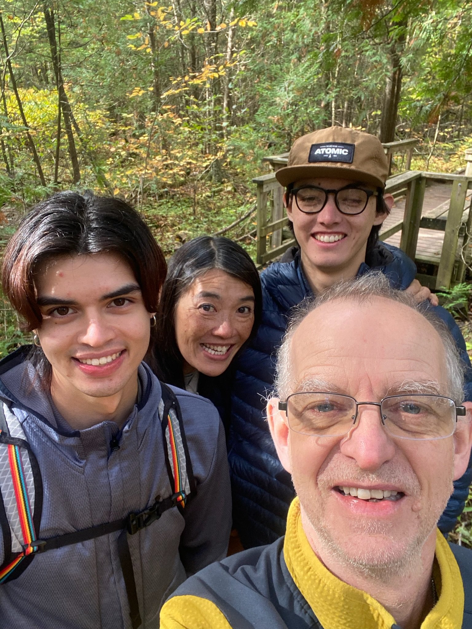
The rare sighting of an entire family voluntarily out for a walk
Getting there and getting in
Crawford Lake and Rattlesnake Point are both conservation areas run by Conservation Halton. There’s a gate fee, and while reservations aren’t required, they are recommended, and booking online saves money on the fee. On a holiday weekend I’d take that advice. We started early, which was just as well: by the time we left there was quite a line of cars waiting to get in.
Over to Rattlesnake Point
We decided on the longer option: the Nassagaweya Canyon Trail from Crawford Lake out to Rattlesnake Point and back. It’s a nice, easy trail and beautifully maintained. TrailSync made it 6.6 miles all told, or a little over 10km in local currency, with about 700 feet of gain.
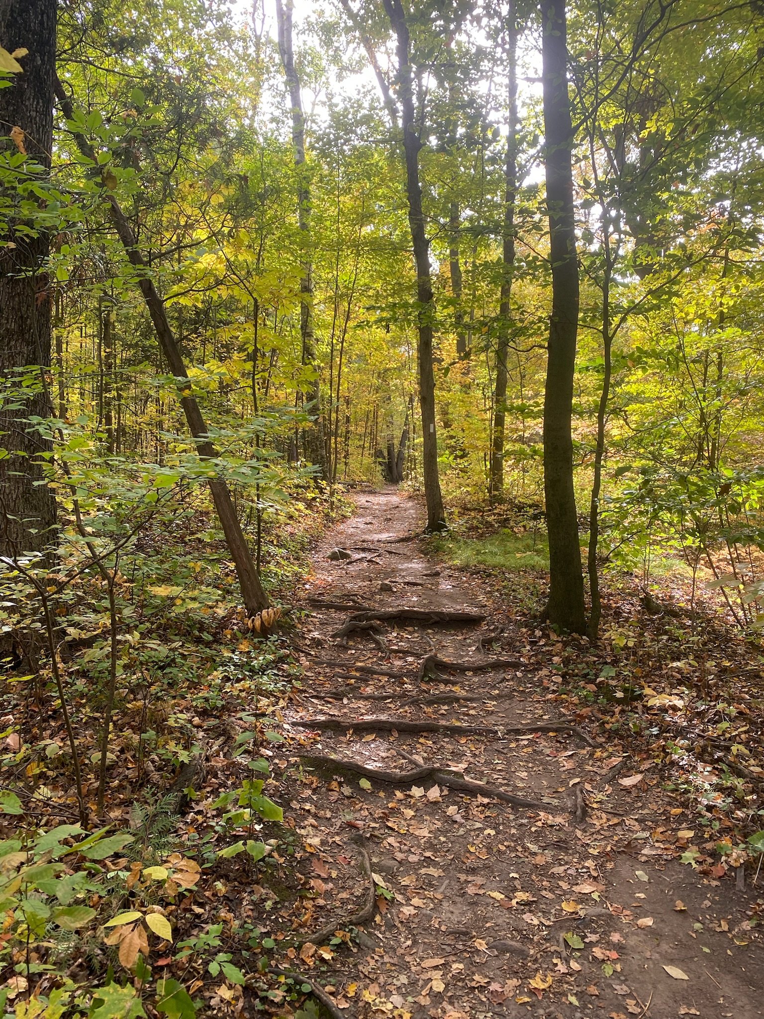
Roots, leaves and not a volcano in sight
The real star was the autumn. Fall is properly here, and the leaf colours were fabulous. After years of Cascade conifers, it was a treat to be somewhere predominantly deciduous, with crisp leaves underfoot the whole way.
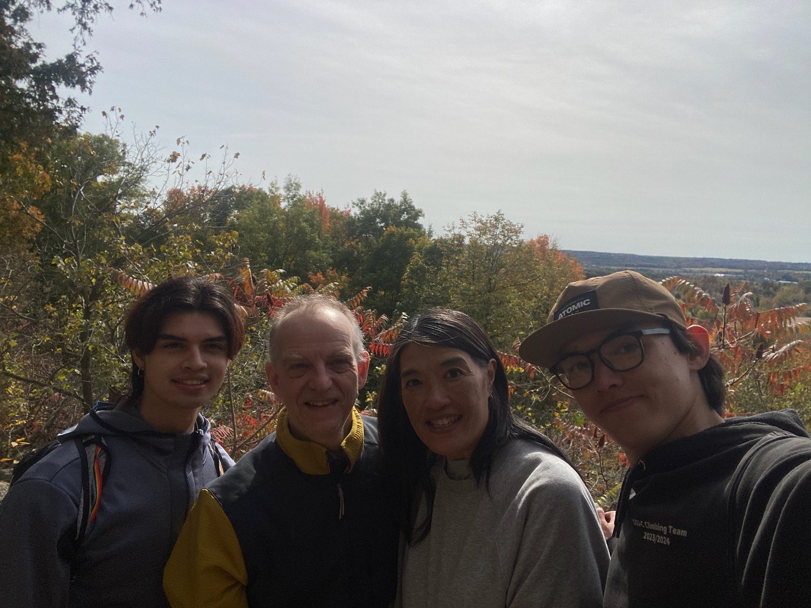
Rattlesnake Point: plenty of view, no rattlesnakes
Back through the canyon
On the way back we varied things a little, dropping down into the canyon to follow Limestone Creek for a while rather than simply retracing our steps.
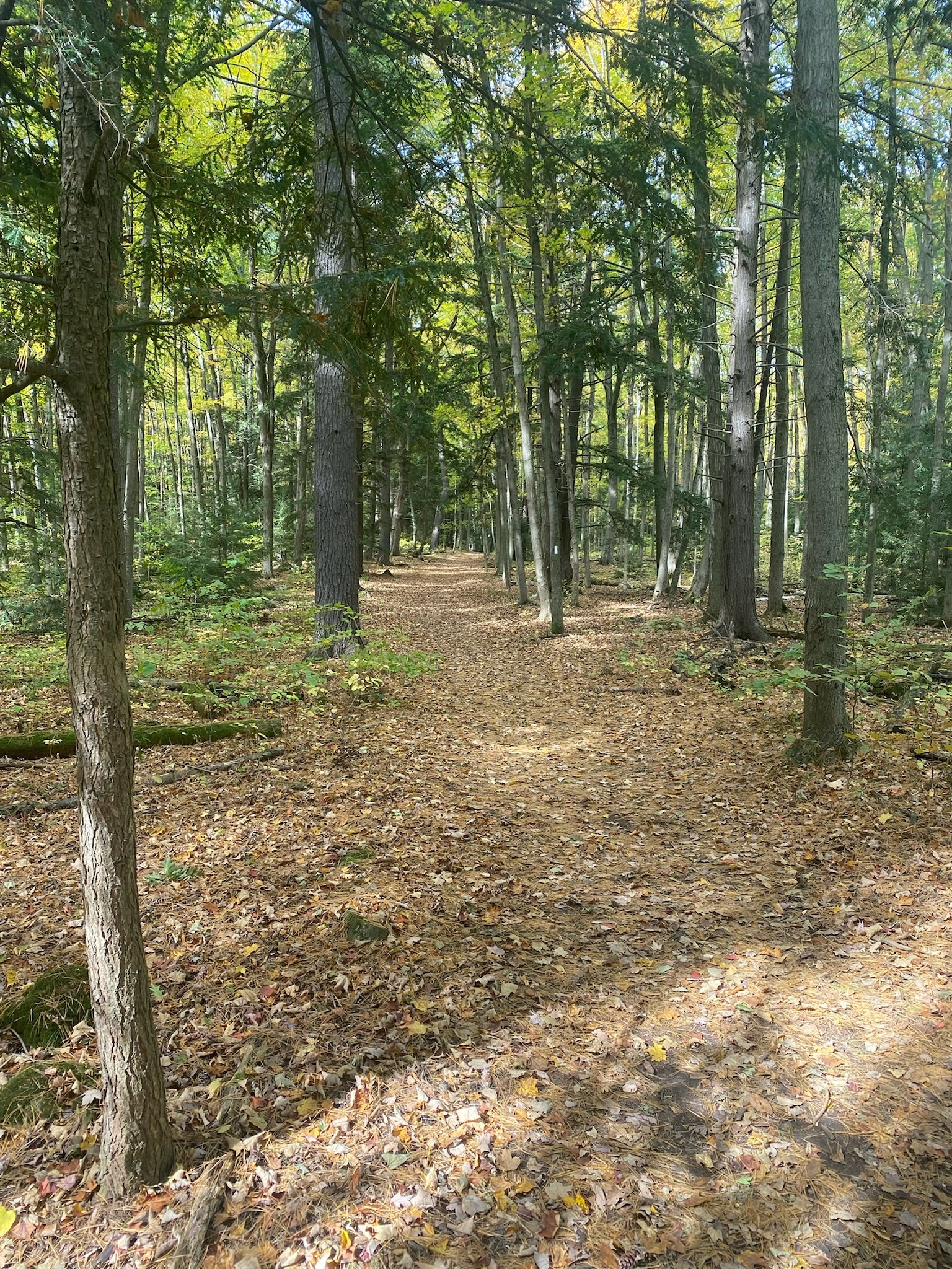
A few conifers, just to make me feel at home
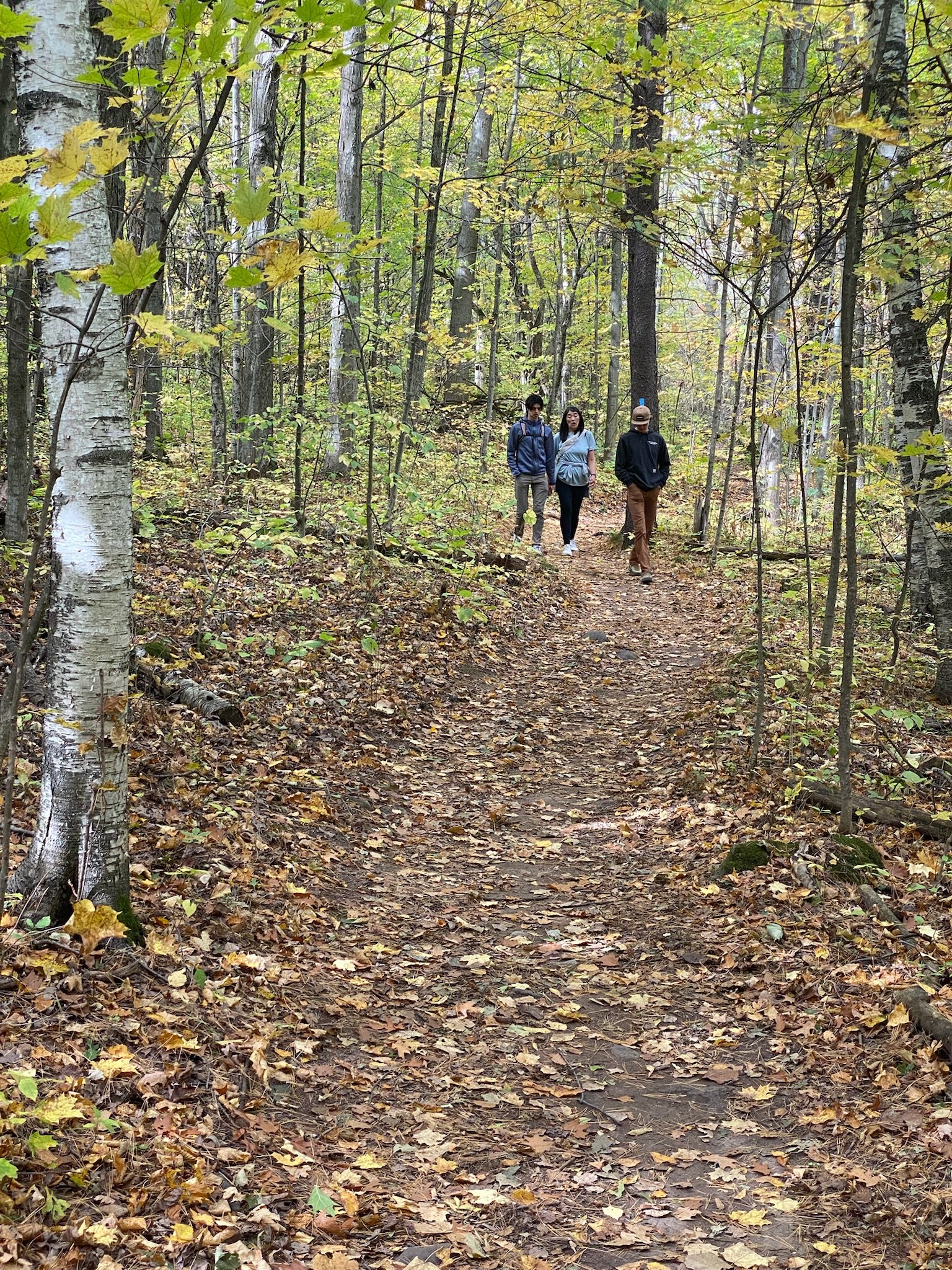
The family, demonstrating a perfectly reasonable pace
Crawford Lake itself
Of course we took a quick trip down to the lake. It’s a small lake, but a remarkable one: Conservation Halton describes it as an important site for global scientific research, because its undisturbed sediment layers may help scientists define a proposed new epoch, the Anthropocene. Not bad for somewhere ringed with cattails.
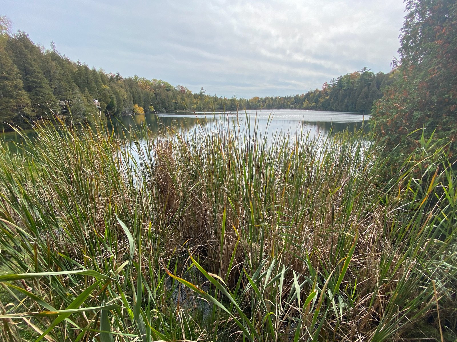
Crawford Lake: small, quiet and of global scientific interest
A word on the tech
TrailSync worked well out here, a long way from its usual stomping ground. It tracked the route and the stats, which saved me from guessing at the distance in two different units.
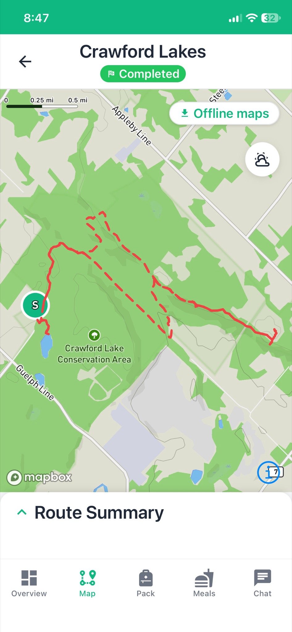
The route: out to Rattlesnake Point, with a detour through the canyon on the way back
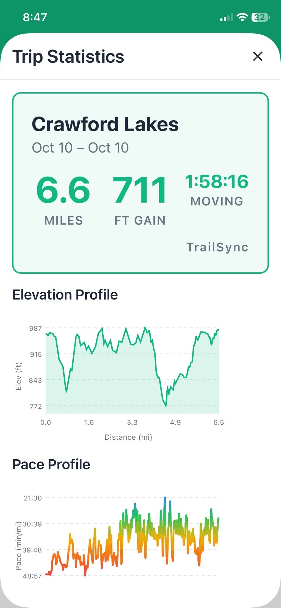
The numbers, so I don’t have to make them up
Worth it?
If you find yourself in Toronto with a free day in autumn, this is an easy, well-kept hike with proper fall colour, a canyon and a lake that’s more interesting than it looks. Start early, and book ahead on a holiday weekend.
Great to be out with the family. Now for a few days in the city. I hope I survive.
Stats
- Start: Crawford Lake Conservation Area, Ontario
- Trails: Nassagaweya Canyon Trail, out and back to Rattlesnake Point, with a detour along Limestone Creek
- Low / high elevation: 772 ft / 987 ft
- Total distance: 6.6 miles (about 10.6 km)
- Elevation gain: 711 ft